


Plants of South Eastern NSW app for iPhone and iPad
Developer: LucidMobile
First release : 13 Apr 2019
App size: 106.69 Mb
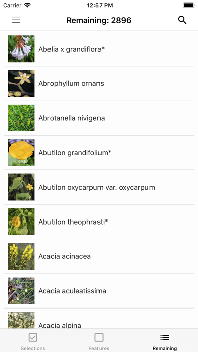
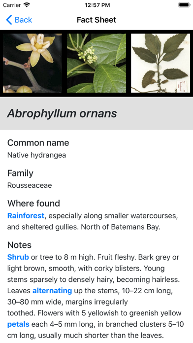
This key is designed for anyone who has an interest in finding out about the plants of south eastern New South Wales. It includes about 2,900 species of plants accompanied by about 10,000 images. It includes Eucalypts, but not ferns, orchids, grasses, or most sedges or rushes. There are about 3,900 relevant species in the area covered by this key.
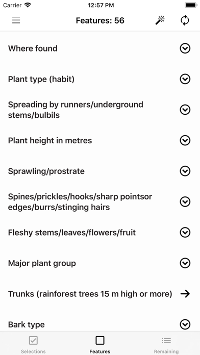
The key mostly uses easily seen characters and a minimum of technical terms to help with the identification of plants. It is not designed to key out to a single species, though sometimes it does. It is designed to narrow down the possibilities of what the plant might be to a limited number of species. The photos may then help you decide what your plant is.
In most cases, the use of a hand lens or a low power microscope is not necessary for identification, except when counting the number of flowers/florets in a flower head, and deciding whether hairs on stems are stellate (multiple hairs arising from a point, looking like a star), branched, or simple. Identification needing the use of a high power microscope is beyond the scope of the key.
Area covered by the key
The northern boundary is at 33.4° S, i.e. from Gosford and Bathurst to about 100 km west of Forbes. The western boundary is at 146.9° E, from about 100 km west of Forbes to Albury. The southern boundary is the NSW/Victorian border.
Plant Distributions
Plant distributions are derived from the maps generated for individual species in Spatial Portal, Atlas of Living Australia https://spatial.ala.org.au/ and from personal observation, and occasionally from the NSW Department of Environment and Heritage Bionet Atlas http://www.environment.nsw.gov.au/atlaspublicapp/UI_Modules/ATLAS_/AtlasSearch.aspx.
Records dated before 1 January 1976 have been disregarded. Distributions are given only for within the area covered by this key.
Coastal records are from east of the escarpment west of Sydney and east of the hills inland from the Princes Highway. Records in the ranges are from the escarpment west of Sydney and the hills west of the Princes Highway to the western edges of the large national parks running south from the Blue Mountains to the Victorian border. Records on the tablelands are from west of the large national parks in the ranges to north and south of the ACT (including the ACT). Records on the Western Slopes are west of the ACT and north and south from there.
About the author
Betty Wood, by training a pharmacologist, developed an interest in wildflowers and their identification many years ago when she first settled in Canberra. Her mother-in-law, an English botanist, helped her to learn to use botanical keys to identify Australian plants. She is co-author (with her husband Don) of Flowers of the South Coast & Ranges of New South Wales in three volumes, Flowers of the ACT & Region, and sole author of Simple Guide to Eucalypts and Similar Trees of the South Coast and Ranges of NSW (Including the Illawarra and Southern Highlands) and the Lucid key and app Plants and Fungi of South Western New South Wales.
Feedback
With about 3,000 manually entered species, there are sure to be mistakes in this key.
Please advise me of such, or give me suggestions about how the key could be improved. Photos that users send me to fill in the gaps would be greatly appreciated. My email address is [email protected]
This App is powered by LucidMobile, for more information please visit https://www.lucidcentral.org